PUBLIC MEETING SET FOR JUNE 23
Join us for a public meeting to discuss the water quality of Hillsdale Lake on Friday June 23rd from 1-3 PM at the commissioners chambers at the Miami County Administrative Building, 201 S Pearl St, Paola, KS. Tom Stiles, KDHE Bureau of Water will lead the discussion at this meeting. For more information on this meeting, or anything under the Hillsdale WRAPS Project contact [email protected]
|
In July 2016, the Miami County Conservation District became the sponsor for the Hillsdale Watershed Restoration and Protection Strategy (WRAPS). A local group of stakeholders formed the Hillsdale Watershed Coalition, and serve in driving the effort to clean up the lake. Hillsdale Lake is impaired for sedimentation, nitrogen and phosphorous. There is funding available from KDHE through EPA 319 to provide cost share funding and incentive payments for various practices directly related to improving water quality of Hillsdale Lake. Thanks to the work of MCCD there is a full time staff member dedicated to field work on all things WRAPS in the Hillsdale Watershed. If you live in, or own ground in the watershed and have any questions, concerns or possible project ideas contact Kaitlin Knauss at [email protected]
What is a watershed?A watershed is an area of land containing a common set of streams and rivers that all drain to a single larger body of water such as a lake, river or ocean. Everyone lives in a watershed!
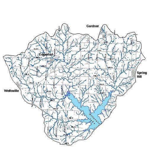
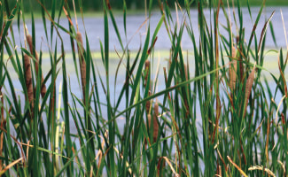
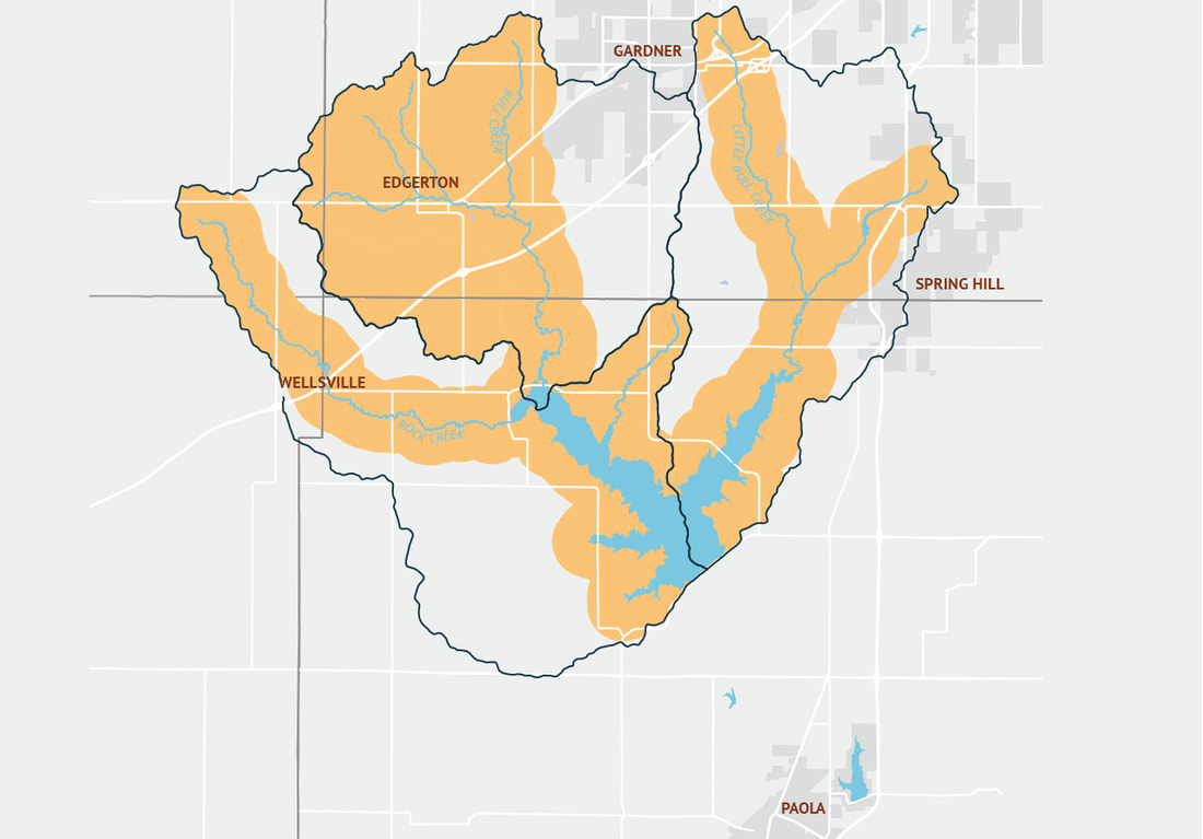
The Hillsdale Lake Watershed is the 144 square miles (92,000 acres) of Douglas, Johnson, Miami and Franklin counties that drain in to Hillsdale Lake. 56,000 people depend on the lake for drinking water; reducing the pollutant load is critical for the future of the region. What are some Features of a Watershed?Wetlands hold storm waters and release them slowly, protecting streams from erosive forces of flash floods. They form the basis of the food web for insects, fish and birds; provide groundwater recharge and water storage; and remove pesticides and excess nutrients from water.
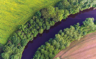
We construct new wetlands on private and public lands. Stream-side buffers slow and infiltrate runoff, hold streambank soil in place and provide critical wildlife habitat. In many areas of the watershed, buffers are absent along significant stretches of streams. We help landowners stabilize streambanks and establish, expand and improve riparian buffers. What Are the issues in the watershed
|
Who is the HILLSDALE WATERSHED Coalition?
|
Members are the cities, counties, conservation districts, water suppliers landowners, farmers and others who have a stake in the health of the watershed. The stakeholder leadership team consists of the following.
|
Orange shaded areas on map above highlight the priority project areas. For an interactive web map click here.
|
Major Contributors Include
|
How Can you get involved?
Improve your Land
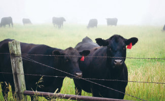
Consider making a change for clean water on your land or farm by planting trees along streams and buffers around your cropland; fence horses and cattle out of streams and ponds; or any of the other clean water management practices. We may be able to assist with some or most of the cost.
Volunteer!
Contact us about volunteer opportunities such as helping with educational events, stream monitoring, a stream cleanup or a fundraiser.
